
Liberty Township ZIP Code Coverage
Five postal geographies appeared when the official Trumbull County DDTI address-point layer was queried for COMM='LIBERTY TWP' and grouped by ZIP and USPS city. The counts are a snapshot of address points, not people, households, voters, parcel totals, ZIP boundaries, or city limits. The table therefore describes the township portion represented in that county layer. USPS remains the final address-level check for a mailing ZIP and preferred city label.
| ZIP | Areas covered | Post office | Notes |
|---|---|---|---|
| 44420 | Liberty Township address-point segment | GIRARD USPS city label | 1,936 address points at inspection; postal label does not decide jurisdiction |
| 44425 | Liberty Township address-point segment | HUBBARD USPS city label | 399 address points at inspection; verify each mailing address with USPS |
| 44446 | Small Liberty Township address-point segment | NILES USPS city label | 47 address points at inspection; not a Niles boundary statement |
| 44504 | One mapped Liberty Township address point | YOUNGSTOWN USPS city label | 1 address point at inspection; confirm the exact address before routing a record |
| 44505 | Largest mapped Liberty Township segment | YOUNGSTOWN USPS city label | 3,226 address points at inspection; the Township and Liberty Library use this label |
No official source established a Liberty Township ZIP realignment, a ZIP split, a PO-box-only ZIP, or a unique-institution ZIP. The county layer supports the five postal-city combinations shown here, not claims about the full delivery territory of any one delivery ZIP.
Liberty Township Postal Verification
Use the Postal Service's address lookup before relying on a ZIP in a record search. Enter the complete street address rather than guessing from a nearby postal city. A ZIP serves delivery routes. It is not an official township or municipal border. That distinction matters in Liberty Township because the official township mailing address uses Youngstown 44505 while other township addresses can carry Girard, Hubbard, or Niles labels.
The USPS address lookup is the final mailing check. Its result helps standardize the address before a county search. It does not determine whether the property belongs in Mahoning or Trumbull County.
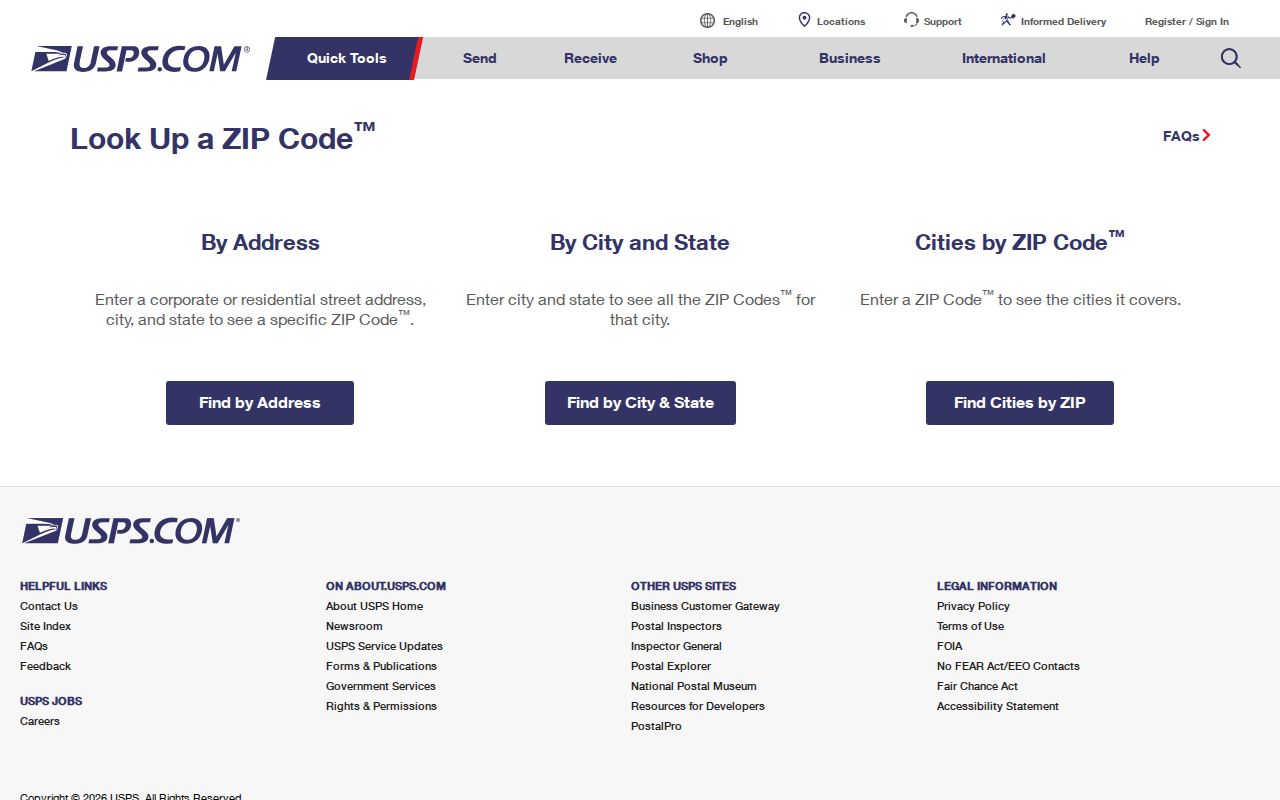
For land, court, election, and Recorder questions involving a township parcel, use Trumbull County systems after the address is verified. A Youngstown mailing label should not automatically send a Liberty Township search to Mahoning County.
Liberty Township ZIP Point Counts
The numbers in the coverage table are useful as a map-data check, not as a population measure. The DDTI address-point service records street-address components, municipality and community values, ZIP, USPS city, and a modified date. It has no resident, household, or occupancy field. New construction, corrected addresses, and road edits can change the count, so it should not be used to calculate how many people live in a delivery ZIP.
The official DDTI address-point query service is shown below. It provides a reproducible way to retain the township scope with its community field and group the result by ZIP and USPS city.
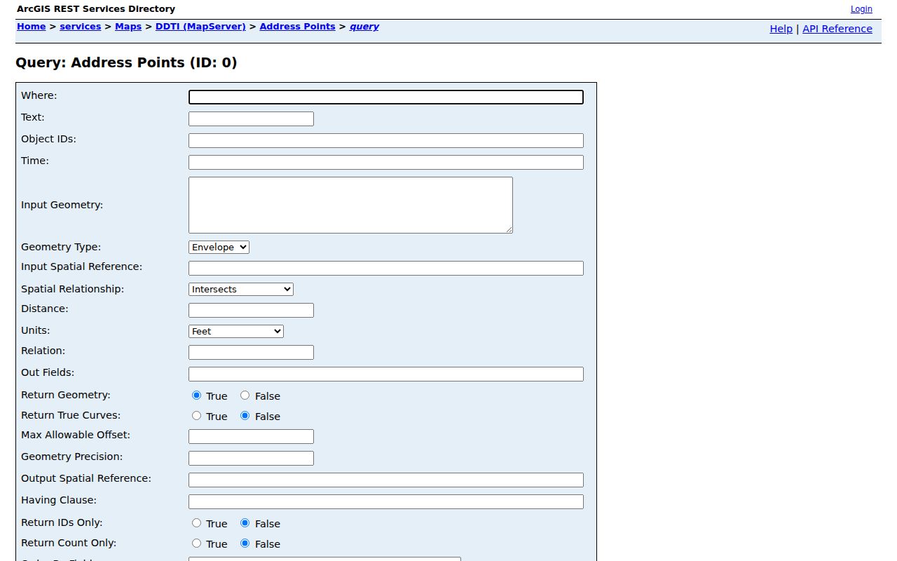
A point can confirm address formatting and postal geography. It cannot show an owner, a resident, or whether a person currently receives mail there. Keep it separate from the Auditor's property record and from a named voter result.
Liberty Township ZIP Code Search
Local systems do not all accept a ZIP filter. The verified Auditor quick search accepts parcel, owner, or address. The Beacon front-end ZIP filter was not verified, so it should not be promised. The county DDTI REST service can filter or group geographic address data by ZIP and community, while the Recorder is name-indexed rather than geographic. Ohio's individual voter tool is for a named voter and does not offer a public ZIP browse.
- Verify the full mailing address with USPS and record the returned ZIP and postal city.
- Use the DDTI address-point or road service with the Liberty Township community context to check ZIP geography.
- For a parcel question, search the Auditor by the verified address, owner, or parcel number, not by an unverified Beacon ZIP filter.
- Use the Recorder only after obtaining party names, a legal description, or a document reference. Use the voter tool only for an identified registrant.
After a ZIP narrows the correct address, the Liberty Township By Street directory gives the address-to-parcel and Recorder path. It remains important not to treat a county property entry as a list of people at that address.
Election records require a different route. Ohio's public voter lookup asks for first name, last name, and county, with Trumbull selected for a Liberty Township search. It may ask the user to choose a street to narrow an identified match, but it has no blank ZIP browse or public street-wide roster. Its permitted output is a dated registration snapshot, not independent proof that a person is physically present at an address.
For an existing voter-data record outside the named lookup, the official DATA Act portal accepts election, start date, end date, and county selections. Its visible date range is limited to seven days. A custom package requests first name, last name, and email, may take up to 24 hours, and supplies a time-limited link. For a defined existing county record, the Trumbull County Board of Elections is the fallback custodian. Statutory exclusions and confidential registrations remain in force regardless of the ZIP used to describe the address.
Liberty Township GIS ZIP Fields
The DDTI services make the ZIP code directory useful for geography without turning it into a people directory. The address-point layer includes house number, unit, building, floor, directional and street components, municipality, village, community, ZIP, USPS city, alternate street components, subdivision, and modified date. A road-centerline feature adds left and right address ranges, ZIP values, USPS cities, communities, townships, road class, alternate names, and a segment identifier.
| County GIS field family | Research use |
|---|---|
| COMM, MUNI, VILLAGE | Preserve township and local-government context while comparing postal labels |
| ZIPCODE and USPS_CITY | Check the county's postal geography for an address point |
| Street and unit components | Standardize the physical address before another county search |
| Road ranges and segment ID | Check which numbers and postal labels belong on a road segment |
| Alternate names and modified date | Test a name variation and note that GIS data can change |
The DDTI road-centerline service illustrates the road-side data used to compare ranges and postal labels.
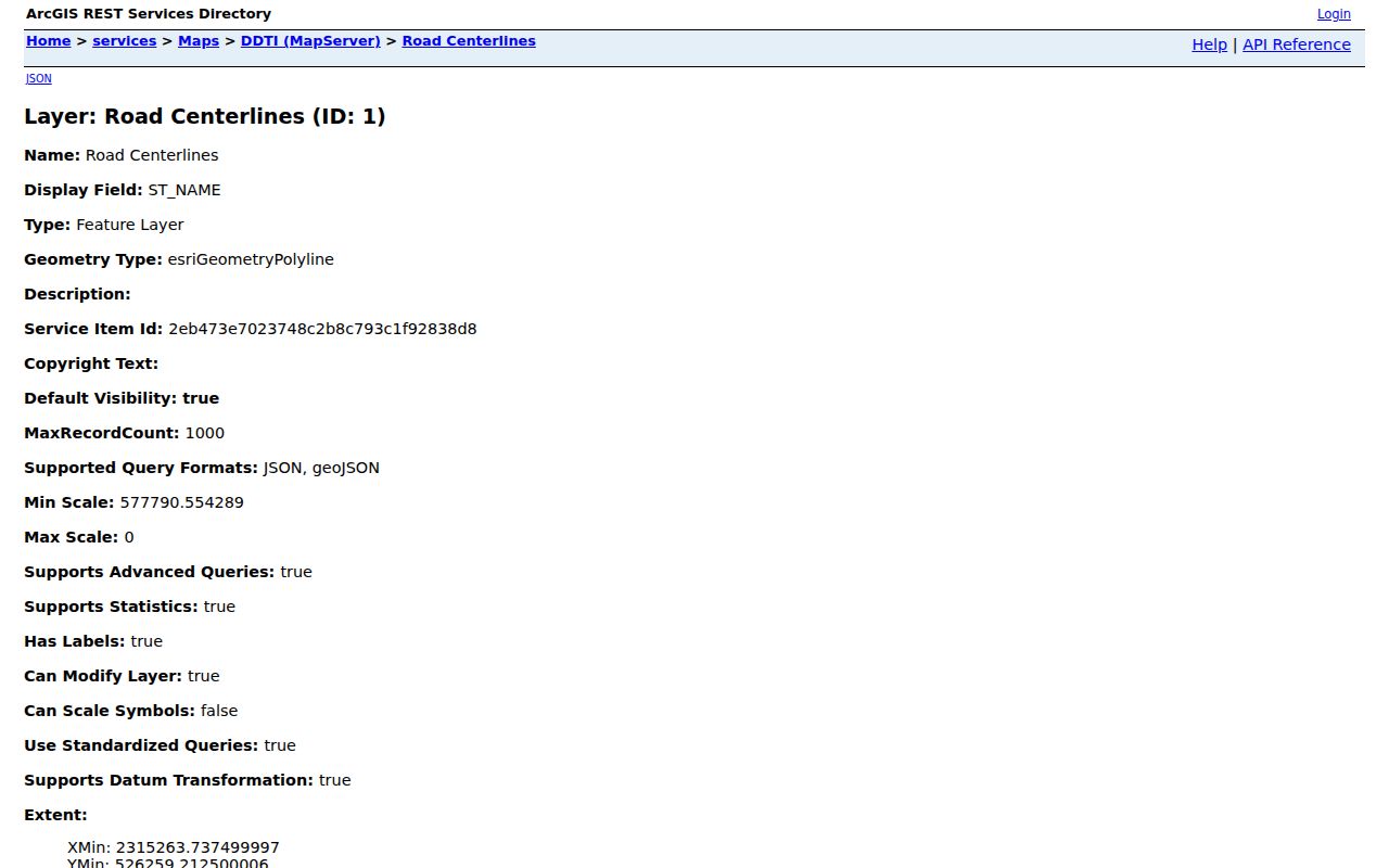
County GIS calls property-boundary maps an approximation. Use the services to connect an address to road and parcel context. A surveyor, not the map viewer, locates property pins and legal boundary lines.
Liberty Township ZIP Code Limits
ZIP code geography and city limits are different systems. The official county layer identifies Liberty Township address points with several postal-city labels, and the township office itself uses a Youngstown address. None of those labels changes the township's Trumbull County jurisdiction. Route an Auditor, Recorder, Clerk, Board of Elections, or GIS question by the parcel and governmental jurisdiction, not by the city printed on mail.
The same location can look different across record types. An Auditor record uses a situs address. A Recorder document may use a legal description and historic road wording. A tax bill can carry taxpayer mailing information. A voter record uses a residence address, while a library directory follows the publisher's geography. Compare the identifiers instead of forcing them into one postal label.
- ZIP and ZIP+4
- A ZIP identifies a delivery area. ZIP+4 adds a smaller delivery segment for a more precise mailing address.
- PO-box ZIP
- A postal ZIP used for post-office boxes. No Liberty Township PO-box-only ZIP was verified in the research.
- Unique ZIP
- A ZIP assigned to a single organization or large receiver. No Liberty Township unique ZIP was verified in the research.
- Carrier route
- A delivery route within postal operations. It is not a township boundary or a list of residents.
Liberty Township ZIP Address Changes
For a new or changed Liberty Township address, start with the local assigning authority. The County GIS office says local zoning offices, fire departments, or township trustees assign addresses when appropriate, then GIS updates the 911 system. The Recorder has no tract or geographic index, so it is not the office to ask to interpret a changed street address.
No official source located a township-wide street-renumbering date, grid rule, annexation readdressing date, or ZIP realignment history. If a specific old address must be reconciled, request the identified address-history or local record, compare the legal description or parcel identifier, and recheck the current GIS feature rather than assuming a postal label resolves the issue.
Liberty Township ZIP Directory Boundaries
A ZIP code directory can organize address geography, but it does not establish current residency. The Auditor's parcel roll distinguishes situs, owner-mailing, and taxpayer-mailing components. The DDTI address layer supplies address attributes but no occupancy data. The named voter tool is limited by public-record exclusions and confidential registrations. Each source can answer a narrow question; none replaces the others.
For historical work, nearby-city telephone books and directories can include Liberty Township households under their own publication geography. Search Liberty, Girard, Youngstown, Hubbard, Niles, and a street name in the library catalog, then inspect the title page and coverage before relying on a volume. The historical term Church Hill can also be a useful catalog or newspaper variant, but it is not proof of a current postal or administrative boundary.