
Search Liberty Township Streets by Address
The useful Liberty Township street directory path is a chain of record keys, not a county list that can be browsed road by road. The Trumbull County Auditor property search accepts an address, owner, or parcel number. Select the parcel that matches the situs address, township context, parcel number, and legal description. A Youngstown postal label does not move a Liberty Township parcel out of Trumbull County.
- Enter the known address in the Auditor search and note the parcel number, situs address, legal description, owner name, and any deed reference shown on the live result.
- Open the county GIS and Tax Map or its linked parcel viewer to compare the road, parcel shape, nearby lots, and subdivision setting.
- Use the owner name, legal description, instrument number, or book and page to search the Recorder by party or document reference.
- For a dated registration question, confirm an identified person through the official election channel rather than attempting to assemble a road-wide roster.
- For an old address, ask the library to identify a cataloged telephone, reverse, or criss-cross volume that actually covers the relevant postal area.
Each step answers a different question. The parcel and deed chain concern land and recorded transfers. A library volume can show a reported address in its publication year. Neither source supplies a complete list of people at an address.
Liberty Township Parcel Search Keys
The Auditor landing page verifies three starting keys: Parcel, Owner, or Address. Its menu also separates Real Estate Search, Manufactured Homes Search, Map, and Reports. The county-linked advanced Beacon screen was blocked during research, so its unobserved filters, sorting, exports, and result fields are not represented as confirmed features here.
| Liberty Township search control | Type | Use in the address trail | Verified note |
|---|---|---|---|
| Property Search: Parcel, Owner, or Address | Quick text search | Starts with a parcel identifier, owner name, or street address | The Auditor's own placeholder names these three concepts. |
| Search icon | Button | Submits the quick query | No special format requirement is stated. |
| Real Estate Search | Menu link | Opens the county-linked Beacon service | Advanced fields require live verification. |
| Map | Menu link | Moves from a record to parcel geography | Opens the Beacon Parcel Viewer. |
| Reports | Menu link | Reaches Beacon reporting | Available from the Auditor menu. |
Keep a note of the search date and the exact parcel selected. The county states that the property portal covers the current roll, but it does not state a historical online cutoff on its landing page.
Map Liberty Township Streets Before Deeds
Use the GIS map as a spatial bridge before reading a deed. The county GIS office maintains boundary data and updates 911 addressing after a local zoning office, fire department, or trustee assigns a new or changed address. Its parcel view helps compare roads, adjoining parcels, subdivision lines, and the parcel number that connects a map result to the property roll.
The GIS page also says property-boundary lines on its maps are approximations. A map can orient the Liberty Township street directory search, but a surveyor, not the viewer, identifies pins or determines a legal boundary. This is especially important at a corner, frontage road, or subdivision where a simple sequence of house numbers can mislead.
The county-linked Beacon real estate search shows the entry point used for parcel research.
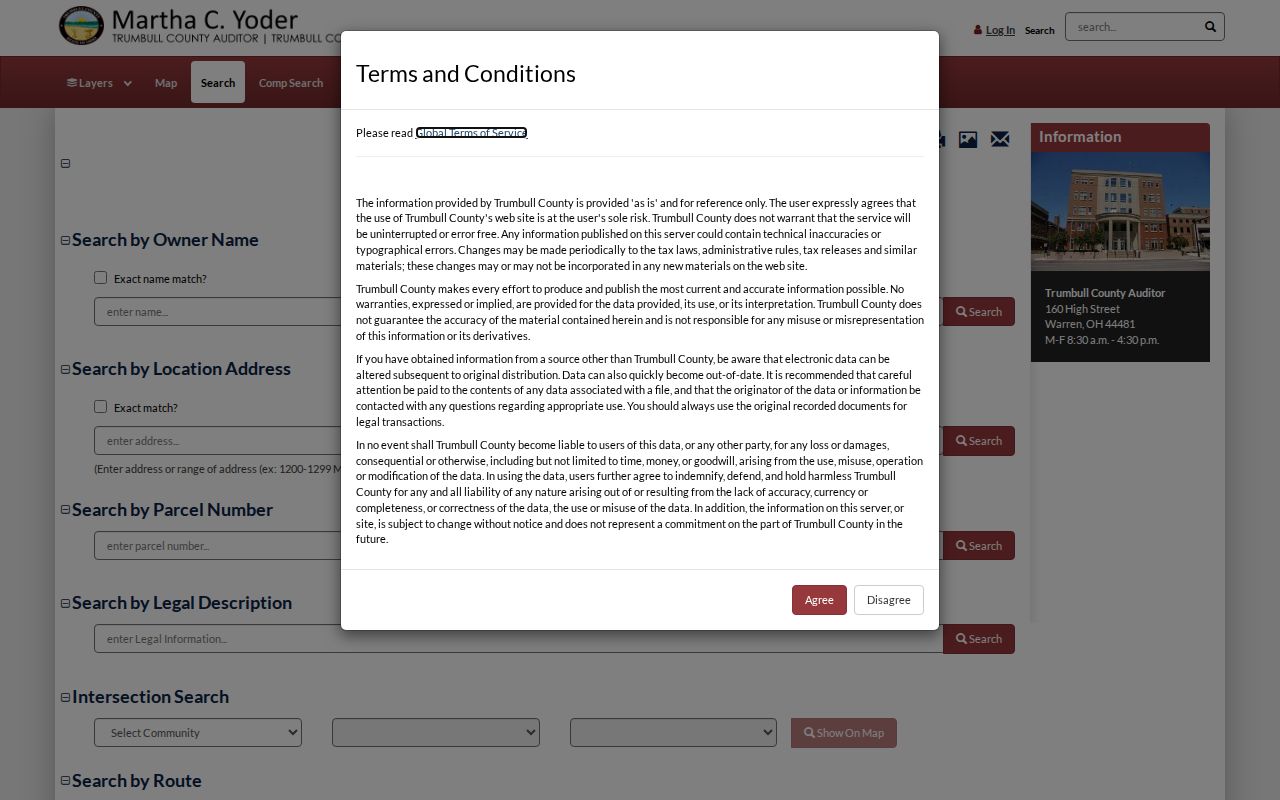
Use the visible property-search route to locate one verified parcel first, then carry its identifiers into the map and recorded-document steps.
Why Liberty Township Streets Bypass Recorder Search
The Trumbull County Recorder Public Access portal is a strong land-record source, with online data and images stated back to 1795 except military discharges. Its index is like a catalog, however, and the Recorder says it is name-based with no tract or geographical index. A road name is not a Recorder search key.
After finding the parcel, search the current owner as a grantee or party. Match the acquisition document by legal description, recording date, and instrument or book-page reference. Then use the prior owner in the opposite party role and repeat. A matching surname alone is not enough, and a document party may be a trust, estate, company, or a prior owner rather than the person currently connected to the address.
The Recorder Public Access gateway is the correct document portal once a party or known reference has been established.
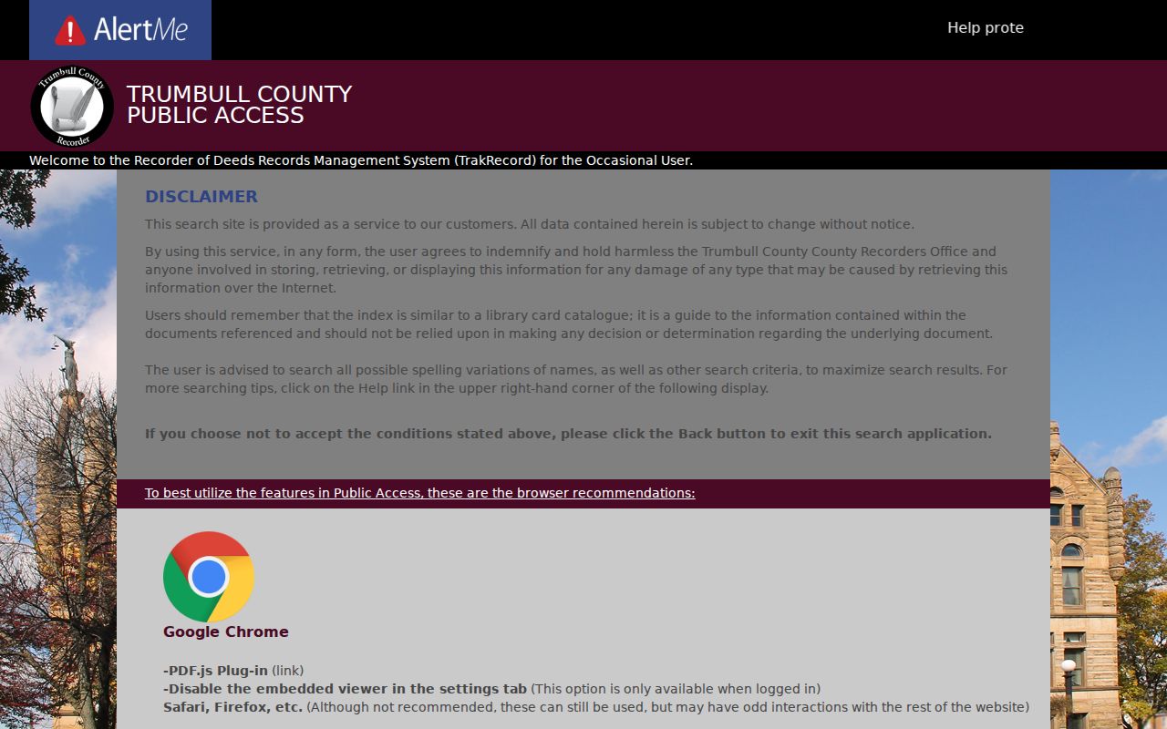
The gateway's disclaimer is a reminder to inspect the underlying image and legal description instead of relying on an index line alone.
Compare Liberty Township Address Records
Several custodians can contribute to a Liberty Township street directory search, but they do not prove the same thing. Read each result for its own limited purpose. The table keeps the address-keyed route separate from documents that depend on a party name or from historic sources that need a confirmed volume.
| Liberty Township address source | Search key or channel | What it can support | Critical limit |
|---|---|---|---|
| Auditor property roll | Address, owner, or parcel | Current parcel entry and owner-to-parcel connection | Its current card fields must be checked live. |
| GIS and parcel viewer | Map navigation and parcel selection | Parcel placement, roads, and boundary context | Boundary display is approximate. |
| Recorder documents | Party name, instrument, or book and page | Transfer chain and legal-description bridge | No geographic index exists. |
| Treasurer tax bill | Selected Auditor parcel then Tax Bill | Tax-bill connection for that parcel | It is not proof of who is physically present. |
| Township zoning file | Address, record type, and date range | A public application, hearing, or violation association | No online local case search was located. |
| Library directories and 1918 atlas | Verified volume, street, house number, or plat | Dated address report or historical geography | Exact local directory runs need confirmation. |
The county Records Center and Archives is a fallback when an older map or official series is not visible online. The Recorder provides public computers and physical books at its Warren counter, while phone help is limited to general information tied to a known reference. A defined Ohio Public Records Act request under R.C. 149.43 is the fallback for an existing, non-exempt record outside a portal.
Define Liberty Township Address Terms
A street address appears in several forms across county systems. Sorting the terms before comparing records prevents a mailing contact or map label from being mistaken for the land identifier used in a deed.
- Parcel number
- The county-assigned key that links the Auditor roll, GIS review, tax-bill route, and deed research.
- Situs address
- The physical property location used for tax and property identification.
- Legal description
- The lot, subdivision, section, or metes-and-bounds wording that validates a recorded transfer as the same property.
- Plat
- A recorded map of lots, blocks, streets, or subdivisions that adds land-layout context.
- Criss-cross directory
- A reverse address listing, when a verified library volume includes the relevant locality and year.
A tax mailing address is simply where a custodian sends notices. It can identify an owner, agent, trust, or post-office box, so it should not be treated as a statement about who is at the situs address.
Request Liberty Township Street Files
Liberty Township does not have a verified online zoning, permit, or code-case search. That absence changes the method. Contact the Township about an existing zoning application, Board of Zoning Appeals file, violation file, meeting record, cemetery-lot record, or address-assignment correspondence. Give the address, the record type, and a defined date span.
The request can cite Ohio Revised Code 149.43 and ask to inspect or receive electronic copies, along with any applicable redaction explanation. County Building Inspection is another address-record channel for a defined permit, application, inspection, or final approval. It has no verified online permit search, so phone contact or a specific request is more accurate than promising an online road query.
Note: A dated public file can associate an address with a project or applicant, but it does not establish every person present there.
Find Liberty Township Historic Street Sources
For an old Liberty Township street, begin with the Warren-Trumbull County Public Library Local History and Genealogy Center catalog and research desk. The collection includes books, microfilm, periodicals, databases, public computers, and archival material. It can identify whether a nearby-city telephone book, alphabetical directory, reverse directory, or criss-cross volume actually includes the Liberty postal area.
The exact Liberty, Girard, Youngstown, and Warren directory years have not been verified as a standalone run. Inspect the title page, publisher, geographic scope, and abbreviation key before treating any address entry as useful. The library's digitized 1918 Liberty/Girard map and Liberty Township plat pages add road, plat, and subdivision context, but maps are not lists of people.
When historical research shifts from an address to an individual record, the Liberty Township resident lookup route is better suited to cross-checking a named person through the appropriate official channel.
Keep Liberty Township Voter Checks Individual
Ohio's My Voter Information lookup is for an identified voter. It requires first name, last name, and county, with Trumbull selected for Liberty Township. A result may confirm registration, precinct, polling location, registration date, voting history, and last activity as the law permits. Voting history records participation, not ballot choices.
The public form is not a blank-address browse and should not be used to build a street-wide list. R.C. 3503.13 protects items such as identification numbers, phone and email data, and confidential address information. For an existing official data file, use the Ohio data portal or the Trumbull County Board of Elections under its governing restrictions instead of repeated individual searches.
Respect Liberty Township Street Research Limits
The Liberty Township street directory can connect a public parcel to an owner record, a map position, a recorded document, or a dated library source. It cannot establish every person connected to an address. The county parcel schema deliberately separates situs, owner mailing, and taxpayer mailing fields. Those are different propositions, and none alone confirms a current household.
Protected voter information, DMV address data, utility and delivery records, and private membership lists are not public substitutes. An unavailable result can reflect a spelling issue, changed record, or confidentiality rule. It is not a reason to seek protected details through another route.
Route Liberty Township Streets by Jurisdiction
Postal labels can complicate a Liberty Township street directory search. The Township's own mailing address uses Youngstown 44505, and the county address layer also associates Liberty Township points with Girard, Hubbard, Niles, and Youngstown labels. The postal city helps format mail, but it does not select the county custodian.
Use the parcel or GIS record to confirm Liberty Township and Trumbull County before choosing the Auditor, Recorder, Clerk, Board of Elections, or GIS channel. For a changed or newly assigned address, the local assigning office acts first and GIS updates the 911 system afterward. The Recorder is not the office to ask for a geographical address history.
Read Liberty Township Street Record History
The Recorder reports online data and images reaching to 1795, except military discharges. That depth can make a long land-record trail possible, but it does not change the name-index limitation. Copy the instrument number, legal description, and access date for each document because scanned and indexed material can be updated.
Historic place terms also matter. Liberty Township separated from Youngstown civil township in 1806, and Church Hill became the post-office name in 1833 after another Liberty postal area created a conflict. Search Liberty Township, Church Hill, Youngstown, Girard, and Trumbull County as controlled historical variants when catalog or map results do not line up with modern wording.